GeoSens Training EO4QGIS
Online I October 10 – 14, 2022 I WürzburgUnfortunately, we have to cancel the Geosens EO4QGIS training “Introduction to Remote Sensing with QGIS” (October 10 – 14, 2022) due to a lack of registrations. We hope to hold the training in 2023. All people registered so far will be informed separately about the cancellation.
Data access & integration
Learn about Raw Data types, integrate them into your work and acquire theoretical knowledge
Hands on Exercise
Selection of data, software and processing platform with case study
EO applications in research projects
Gain insights into existing research projects through presentations by our specialists and discuss their contents
Please send your documents to the following email address:
“eo4intdev@uni-wuerzburg.de“
We will contact you with confirmation of your registration.
Introduction to Remote Sensing with QGIS
This training addresses beginners to intermediated users and provides basics of the open–source geographic information system Quantum GIS (QGIS) for developing and implementing a workbench (e.g., download of data, pre–processing, derivation of indicators and phenological indices, analysis, spatial prediction, mapping, and interpretation) for spatially analyzing and visualizing remote sensing data. Monitoring and Evaluation (M&E) in the sense of derivation, analysis, and interpretation of time series is part of this training. The nexus of climate change – adaptation to climate change – land cover and land use – will be addressed in targeted examples and discussed with the participants and the GeoSens team.
During a total of five days, the training “Introduction to Remote Sensing with QGIS” (EO4QGIS) will offer an overview of the principles of spatial data analysis using the open–source GIS QGIS and its potential for integrating remote sensing with a focus on the analysis of satellite–based remote sensing data (such as Landsat, Sentinel, MODIS) into spatial data analysis and visualization. Following the provision of knowledge on how to manage and install plugins, various important and specific QGIS plugins (e.g., EO classification plugin, EO Time Series Viewer, Sentinel–2 Download, OpenLayers, Orfeo ToolBox, Semi–Automatic Classification, Temporal/Spectral Profile Tool, MapFlow) such as developed by the Department of Remote Sensing and the entire QGIS community will be explained and utilized for demonstrating methods of spatial data analysis, basic image manipulation visualization, image statistics, and spatial and spectral subsets visualization. The training is rounded off with instructions on how to create meaningful and descriptive maps, e.g., for reporting purposes.
The training EO4QGIS will be held by the GeoSens team, a non–profit training initiative run by a group of researchers and experts from the Department of Remote Sensing at the Julius Maximilians University of Würzburg (Germany) and the German Remote Sensing Data Center at the German Aerospace Center (DLR). The EO4QGIS addresses interested persons with previous knowledge in spatial data (e.g., vector and raster data) and remote sensing data.
The training will take place in presence, hosted by the Department of Remote Sensing in Würzburg. Depending on the covid 19 pandemic situation and regulations, we would, if necessary, substitute the possibility of online training. In this case, the training will be provided online via the platforms MS Teams/Zoom. In case the training is held online, the GeoSens team seeks to provide the opportunity to meet virtually in smaller groups (breakout rooms) to ensure more detailed discussions and exchanges.
The participants of the five–day training will obtain a hard copy of a workbook containing theoretical and practical (e.g., coding) information, and links to open–access data, and data portals.
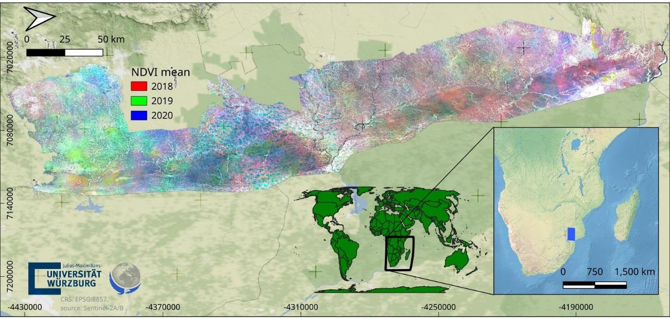
Example of a remote sensing project for the Kruger National Park in South Africa entirely created in QGIS. © Martin Wegmann, Department of Remote Sensing, University of Würzburg, Germany.
Additional Information
| Type | Theory and practice |
| Goal | Gaining theoretical knowledge and practical skills that will enable the participants to master their first own remote sensing project using QGIS. |
| Precondition | Persons with previous knowledge in spatial data (e.g., vector and raster data) and, in the best case, satellite-based remote sensing data, and a strong interest in spatially analyzing and visualizing them such as in the context of M&E and for reporting. Previous participation in the GeoSens EO4IntDev training is advantageous but not a must. The GeoSens team encourages the participants to bring their own data, meaning that; If the participant has spatial data and a specific use case from a project that could be assessed further, we will be available to assist during the training. |
| Duration | Five (5) consecutive days with sessions in the morning and afternoon (~ 5 hours per day) |
| Adds-on | Training material (i.e., workbook and note pad, installation guide for QGIS), access to the Q&A Forum hosted by the Department of Remote Sensing in Würzburg, exchange with participants and trainers in an international group, certificate of participation after completion of the training. |
| Trainers | GeoSens team, a collective of researchers and experts from the Department of Remote Sensing (University of Würzburg) and the German Aerospace Center (DLR). |
| Fee |
979.00 Euros Cancellations by participants up to 20 calendar days before the start of the training are free of charge. Please use eo4intdev@uni–wuerzburg.de for this purpose. For later cancellations, please also send a written request to eo4intdev@uni–wuerzburg.de. If no substitute participants can be named for cancellations at short notice up to 20 calendar days before the start of the training, the costs will be charged in full. |
| Next training dates | 10th to 14th of October 2022 |
| Training capacity | 15 to 25 participants |
Be kindly informed that the arrangement of travel and accommodation in conformity with all rules and regulations (incl. in relation to Covid-19) is your own responsibility.
Got interested?
Get in touch with us!